The municipality is made up of a
network of six small towns of medieval origin . During the Middle Ages the villages of Gàver, Estaràs and Alta-riba belonged to the Bishopric of
Vic and the others (Ferràn, Malacara and Vergós Guerrejat) first to
Urgell and then to
Solsona.
From a historical point of view, the oldest component of the Estaràs municipality is
Gàver . Gàver is mentioned as a place on the border with Spain or the Arab sector in 1015. Later, in 1035, it appears as part of the brand of the county of
Berga, which initially included the segar places of Gàver, Portell and Gospí and later, those of Ferràn and Malacara.
In the 19th century, the region became the
provincial border between Lleida and Barcelona and it was then that it was established as a municipality receiving the name of Estaràs.
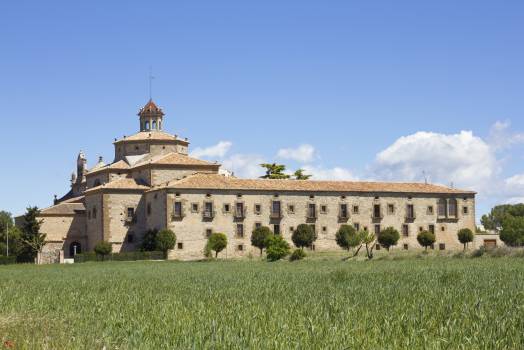
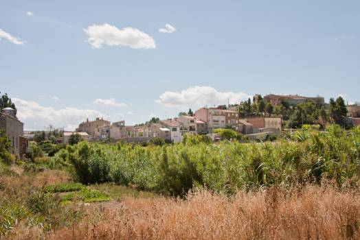
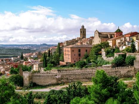
Estaràs is a town located at 596 meters above sea level, to the right of Sió. The village consists of a main street and a few smaller alleys. The main element is the church, but you will also discover a stately home , property that once belonged to the Vilallonga family , which surprises with its large Gothic art windows.
The parish church of Sant Julià d'Estaràs is a few steps outside the village and is in Romanesque style. Among the graves, there is one of Vilallonga with its heraldic emblems.
In the municipality there are
five castles of medieval origin declared
Cultural Assets of National Interest: Alta-riba, Estaràs, Ferran, Mejanell and Vergós Guerrejat . Most of them crown the population center of the same name.
To the north of the municipality, we find the town of
Ferran , under the ruins of its
castle , Ferran preserves several
old houses and the Church of Sant Jaume, a Romanesque church renovated during the 16th and 17th centuries.
To the south-east, there is the complex formed by the
tower of Mejanell and the Romanesque Church of Sant Pere . The Defense Tower is attached to a farmhouse that currently functions as a holiday cottage. The tower of Mejanell was the defense tower of an
old castle from the 11th century and the farmhouse was built in the 14th century adhering to the tower architecturally.
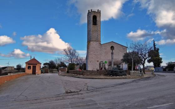
Towards the east is
Malacara , which also presents the characteristic elements of the region: a
Romanesque Church dedicated to Santa Maria and a castle, converted into a stately home. Three possibilities have been found to try to explain this toponym: firstly as a description of a rough and escarpment terrain; secondly, Malacara as an anthroponym and thirdly, understanding "cara" as "quer" (
bad rocks or bad rocker ).
To the southwest, there is
Alta-riba , under the remains of its
castle , which is a privately owned stately home. Once again, the houses in the center are grouped around the
Church dedicated to Sant Julià .
To the east is
Gàver , a small town under its own
castle , of which only one tower remains. Next to the castle, stands the
Romanesque Church of Santa Maria . The
Sió River originates in the lands of this town.
Finally, to the south of the municipality is
Vergós Guerrejat , a beautiful town built under the Plaça de l'Església, in which there is the
castle, the Church of Santa Magdalena and the rectory . The castle is a stately home that preserves many medieval architectural elements. There are only two Catalan towns called Vergós and both are in the La
Segarra region. Vergós is a toponym whose origin is not yet fully known, but on the other hand "Guerrejat", as an adjective, does refer to some military contingency that took place there at the time the nucleus was created of population, at the time of the reconquest.
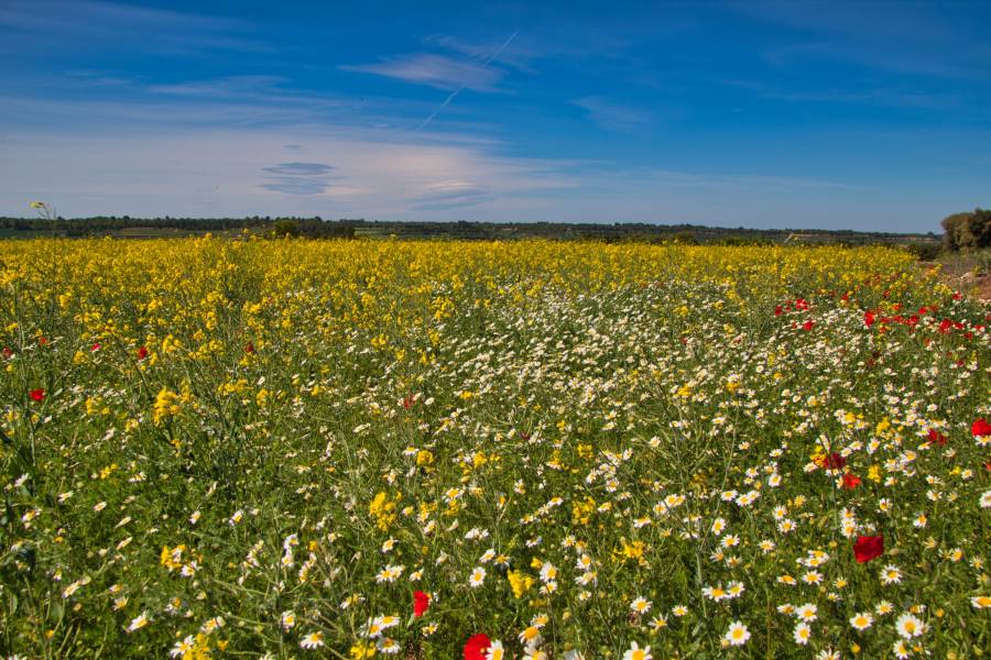
The municipality offers great possibilities for walking and mountain biking, but one of the most spectacular is the one that follows the Sió river, known as the Ruta dels Castells de Sió.
 Log in to your account